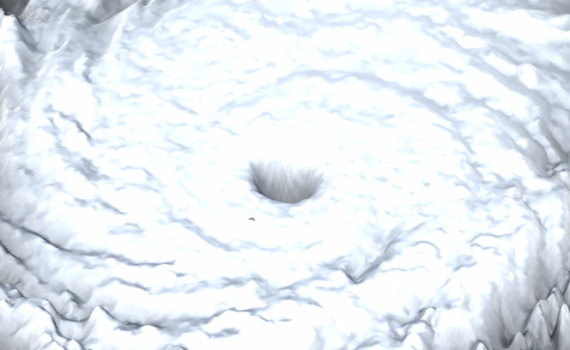
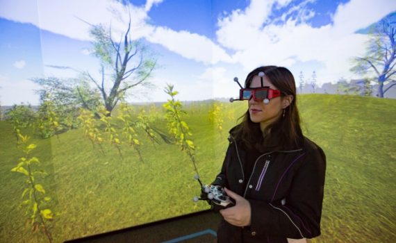
Using National Oceanographic and Atmospheric Administration and the University Corporation for Atmospheric Research data sets, a scaled and interactive stereographic 3D model of Hurricane Katrina was created by parsing approximately 2GB of satellite and radar data. The data includes information such as the planetary boundary layer height, the water vapor mixing […]
Projects
9 posts
It’s 1598, and you’re on your way to the Globe Theater to watch one of Shakespeare’s plays. You walk along the dirt roads and the green fields of London and you realize you can see the London Bridge in the distance. A vagabond asks you for a coin, and you […]
T H E G L O B E T H E A T E R E X P E R I E N C E : A collaborative student project The First Folio: The Globe Theater Experience is an interactive digital narrative that brings Shakespeare’s London to […]


